Damascus / Rif Dimashq
Flagship 10×10 km starter district
Co-located with the flagship museum. Trunk utilities, mixed-income housing, civic core, transit interchange.
The Smart City Development Program is the economic and spatial delivery engine of the recovery platform — anchored on starter districts, not speculative full build-out.
Co-located with the flagship museum. Trunk utilities, mixed-income housing, civic core, transit interchange.
Tourism, hospitality, and adaptive reuse around heritage zones. Phased to demand, not speculation.
Capacity ranges are concept-stage planning assumptions, not feasibility forecasts. The first decade focuses on starter districts in every scenario.
| Footprint | Gross area | Best use | First-decade strategy | Concept capacity |
|---|---|---|---|---|
| 10 × 10 km | 100 km² | Pilot smart city near a heritage or tourism corridor | 5–10 km² starter district; reserve remainder | ≈ 150k–400k eventual residents · 50k–150k jobs |
| 20 × 20 km | 400 km² | Balanced city-region with industry, housing, and tourism | 8–15 km² serviced anchor districts | ≈ 500k–1.2M eventual residents · 200k–450k jobs |
| 30 × 30 km | 900 km² | Long-horizon metropolitan growth platform | 10–20 km²; defer most land to later phases | ≈ 1.2M–2.5M eventual residents · 450k–900k jobs |
People-centered means inclusive access, participation, sustainability, and public services — not technology for its own sake.
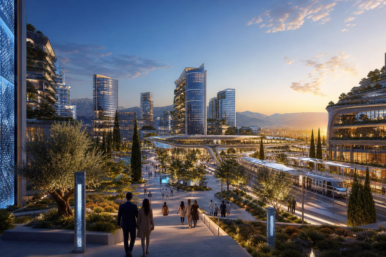
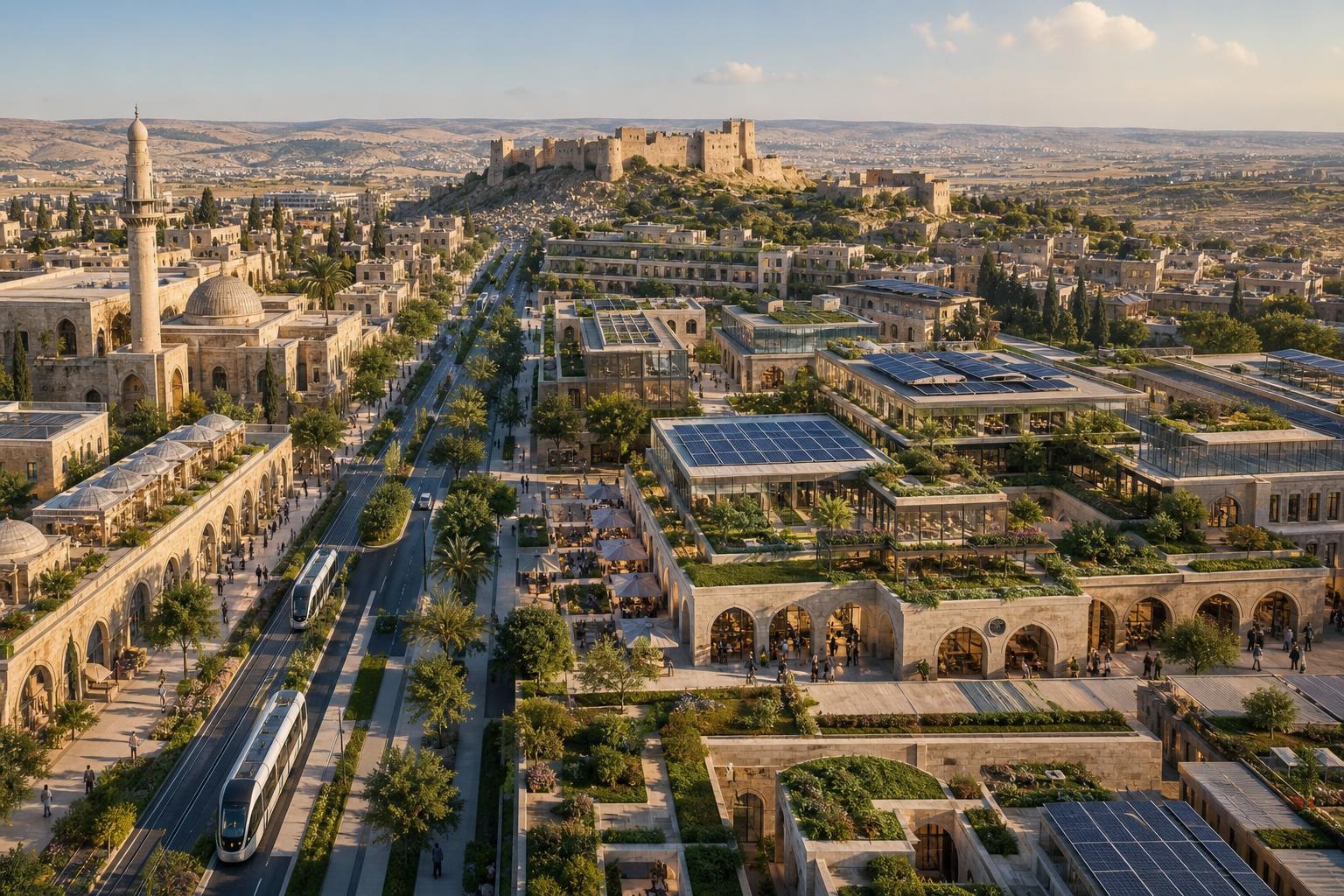
Concept visuals — high-tech infrastructure expressed through Syrian materials, climate, and craft. Indicative only; not site-specific designs.
Electric trams and shaded stations weave Damascene lattice motifs into a low-emissions network connecting starter districts to heritage cores.
Mixed-income housing with integrated solar arrays, microturbines, and a community-scale smart grid substation — designed for Syrian sun and citrus shade.
Interactive kiosks and a glass-and-stone library frame a courtyard reflecting pool — e-governance grounded in the geometry of Damascene courtyards.
Low-rise labs and green roofs sit beside a restored limestone quarter, served by a sensor-equipped smart highway along the recovery corridor.
A national demonstration platform. Smallest exposure, strongest learnings.
Geographic balance across recovery corridors. Tourism, return, and industry.
Conditional on corridor performance, demand growth, and approvals.